AEC (Architecture Engineering Construction)As Built 2D CAD DrawingsAs Built 3D Revit ModelAs Built Laser Scan SurveyAs Built SurveyBlogCyclone CoreIndustrialLand SurveyingLaser Scanning PolandLeica GeosystemsMEP (Mechanical, Electrical, and Plumbing)P40 Laser Scanner Laser Scanning In Poland

Measured Surveys In Poland

Measured Surveys In Poland   M3S Surveys have been involved in carrying out measured surveys in Poland over the last 5 years. These range from residential property, hotels to large historical sites in cities including Kraków, Warsaw, Gdańsk, Katowice, Wrocław, Łódź and Kielce plus many smaller towns and rural areas. Our primary method of survey…


Read article
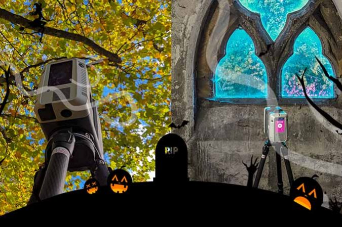
3D Model3D SurveyAs Built Laser Scan SurveyBlogLaser Scan Measured Building SurveyLaser ScanningLeica GeosystemsLeica RTC360 Halloween Laser Scanning

Laser Scanning & Measured Surveying

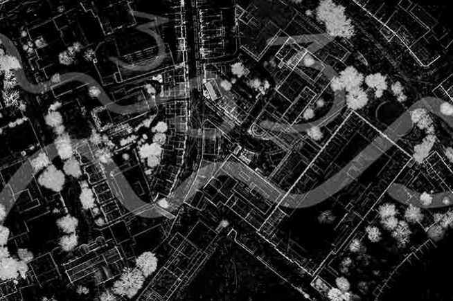
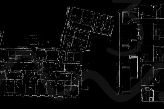
Laser Scanning & Measured Surveying The M3S team have spent years using and improving our work flows for laser scanning & measured surveying. From on site, registration software, QC to production for plans, elevations, cross sections, topo and Revit models. In addition to these products the laser scanning data can also be used for the…

Read article
3D SurveyBlogInstagramLaser ScanningSocial Media Instagram - 3D Laser Scanning

Instagram – 3D Laser Scanning

Instagram – 3D Laser Scanning   Our Instagram – 3D Laser Scanning profile is starting to look as a bit better now with additional content added ever week: Click here to follow  –  https://www.instagram.com/m3ssurveysltd/   M3S Surveys Ltd are on the following social media platforms – please click the following links and like/share follow us…

Read article
As Built SurveyBlogInterurban DevelopmentsLand & Property SaleLand SurveyingLand Surveyor ScotlandLaser Scan Measured Building SurveyLaser ScanningPlanning ApplicationsPlanning PermissionTopo Survey & Elevation Drawings For Planning ApporvalTown Planning Scotland InterUrban Developments Ltd – Planning Permission & Development

InterUrban Developments Ltd – Planning Permission & Development

InterUrban Developments Ltd – Planning Permission & Development   M3S Surveys Ltd have been carrying out various land surveying and laser scanning services for InterUrban Developments Ltd – Planning Permission & Development. The following products were required: Topographical Survey Elevation Drawings 3D Model LGS & TruView From the products M3S Surveys delivered. The files &…

Read article
As Built 2D CAD DrawingsAs Built 3D Revit ModelAs Built Laser Scan SurveyAs Built Measured SurveyAs Built SurveyLaser Scan Measured Building SurveyLaser ScanningLaser Scanning ScotlandLaser Scanning UKPlanning ApplicationsWhat Is An As Built Survey? Leica P40 - 3D Laser Scanner

As Built Measured Building Surveys – Architects, Planners, Engineers & Conservation

  Do You Need A Topographical or Measured Building Survey – Architects, Planners, Engineers & Conservation The M3S Surveys team have years of experience carrying out small to large scale as built measured building surveys using a range techniques including laser scanning. Many of our clients are work within the built environment and are architects…

Read article
3D ModelAs Built 2D CAD DrawingsAs Built 3D Revit ModelAs Built Laser Scan SurveyAs Built SurveyAs Built SurveyBlogLaser ScanningMeasured Building SurveyRevit Model Laser Scan - As Built Survey

As Built Survey – Laser Scanning & Photogrammetry (Reality Capture)

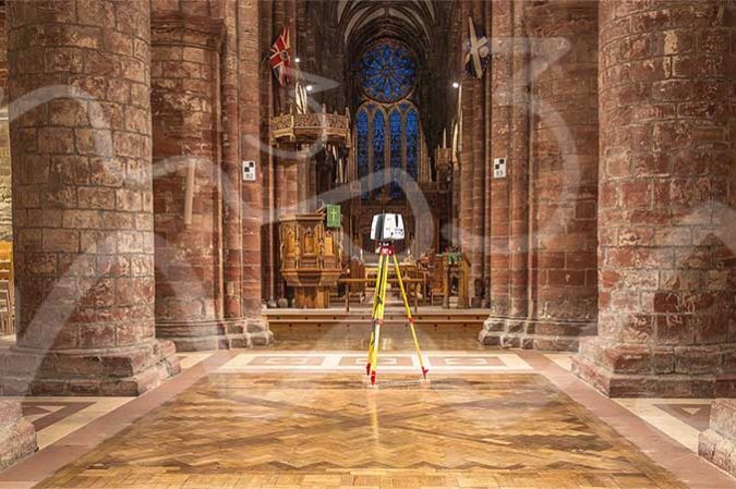
The M3S Surveys Ltd team have been utlising laser scanners for the last 10+ years. With rapid advances in technology and software with both instruments and computing power the team have always kept up to date with this. While constantly reviewing and improving workflows in the field and within the software. There are a range…

Read article