3D Model3D SurveyAs Built SurveyBlogDigital TwinLaser Scan Measured Building SurveyLaser ScanningMeasured Building SurveyReality CaptureRevit ModelScan2Bim 3D Survey - Laser Scanning Point Cloud For Revit

3D Survey – Laser Scanning Point Cloud For Revit Model

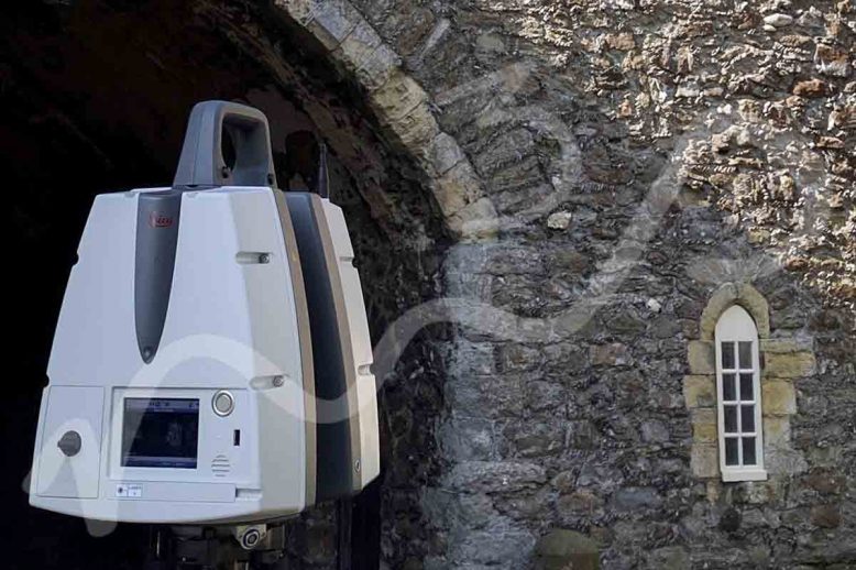
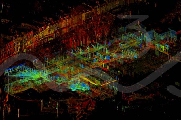
3D Survey – Laser Scanning Point Cloud For Revit Model The M3S team have spent years using and improving our work flows with for laser scanning, 3D Survey – Laser Scanning Point Cloud for Revit Model. From on site, registration software, QC to production for plans, elevations, cross sections, topo and Revit models. In addition…

Read article
BlogFacebookFlickrInstagramLinkedInPinterestSocial MediaTwitterYouTube Social Media

Social Media Profiles – M3S Surveys Ltd

Social Media Profiles – M3S Surveys Ltd M3S Surveys Ltd are on the following social media platforms – please click the following links and like/share follow us on our social media channels for up to date photos and videos of our current projects. Social Media Twitter Facebook Instagram LinkedIn Pinterest Flickr YouTube   Our Instagram…

Read article
As Built SurveyBlogInterurban DevelopmentsLand & Property SaleLand SurveyingLand Surveyor ScotlandLaser Scan Measured Building SurveyLaser ScanningPlanning ApplicationsPlanning PermissionTopo Survey & Elevation Drawings For Planning ApporvalTown Planning Scotland InterUrban Developments Ltd – Planning Permission & Development

InterUrban Developments Ltd – Planning Permission & Development

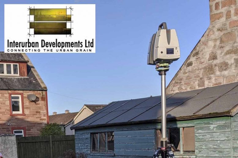
InterUrban Developments Ltd – Planning Permission & Development   M3S Surveys Ltd have been carrying out various land surveying and laser scanning services for InterUrban Developments Ltd – Planning Permission & Development. The following products were required: Topographical Survey Elevation Drawings 3D Model LGS & TruView From the products M3S Surveys delivered. The files &…

Read article
BlogHeritageHigh Resolution OrthoLand SurveyingPhotogrammetry Laser Scanning: Topo, Photogrammetry & Measured Building Survey (Worthing, West Sussex, England)

Laser Scanning: Topo, Photogrammetry & Measured Building Survey (Worthing, West Sussex, England)

Laser Scanning: Topo & Measured Building Survey (Worthing, West Sussex, England) Earlier in September M3S Surveys Ltd were on the road to the sunny South coast of England to carry out a measured building survey Worthing, West Sussex using laser scanning and photogrammetry on a historic building. The point cloud data was also being used…

Read article
As Built SurveyBlogLand & Property SaleLand SurveyingLand Surveyor ScotlandLand Surveyor YorkPlanning ApplicationsTopo SurveyTopo Survey EnglandTopo Survey Northern IrelandTopo Survey ScotlandTopo Survey WalesTopo Survey YorkTopographical SurveyTown Planning Scotland Trimble Total Station - Topographical Survey

Topo Survey, UK (Scotland, England, Wales, Northern Ireland)

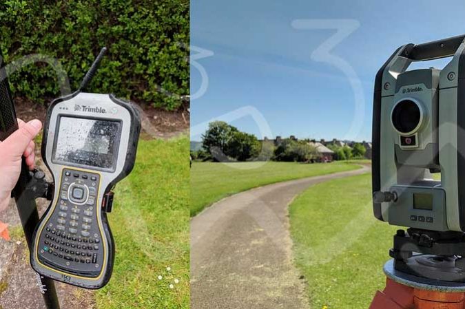
Planning Applications – more than just filling in a form! At M3S Surveys Ltd the team has years of experience carrying out measured building and topographical surveys for planning applications. From small dwellings, country manors, University campuses to historical buildings. From the survey data collected our team can produce a wide range of digital products…

Read article
As Built 2D CAD DrawingsAs Built 3D Revit ModelAs Built Laser Scan SurveyAs Built SurveyBlogLand & Property SaleLand AcquisitionLaser Scanning ScotlandPlanning ApplicationPlanning ApplicationsPlanning PermissionTopo Survey & Elevation Drawings For Planning ApporvalTown Planning Scotland Laser Scanning & Traditional Surveying Role In Planning Applications - Building Elevations and topographical surveys

Laser Scanning & Traditional Surveying Role In Planning Applications

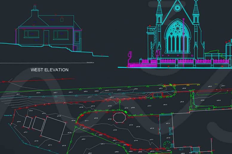
Planning Applications – more than just filling in a form! Planning applications can be quite a challenge, espeically when dealing with listed buildings. Laser Scanning & Traditional Surveying Role In Planning Applications has over the last few years become an essential combo for many surveyors.  Using the total station to establish survey control and the…

Read article