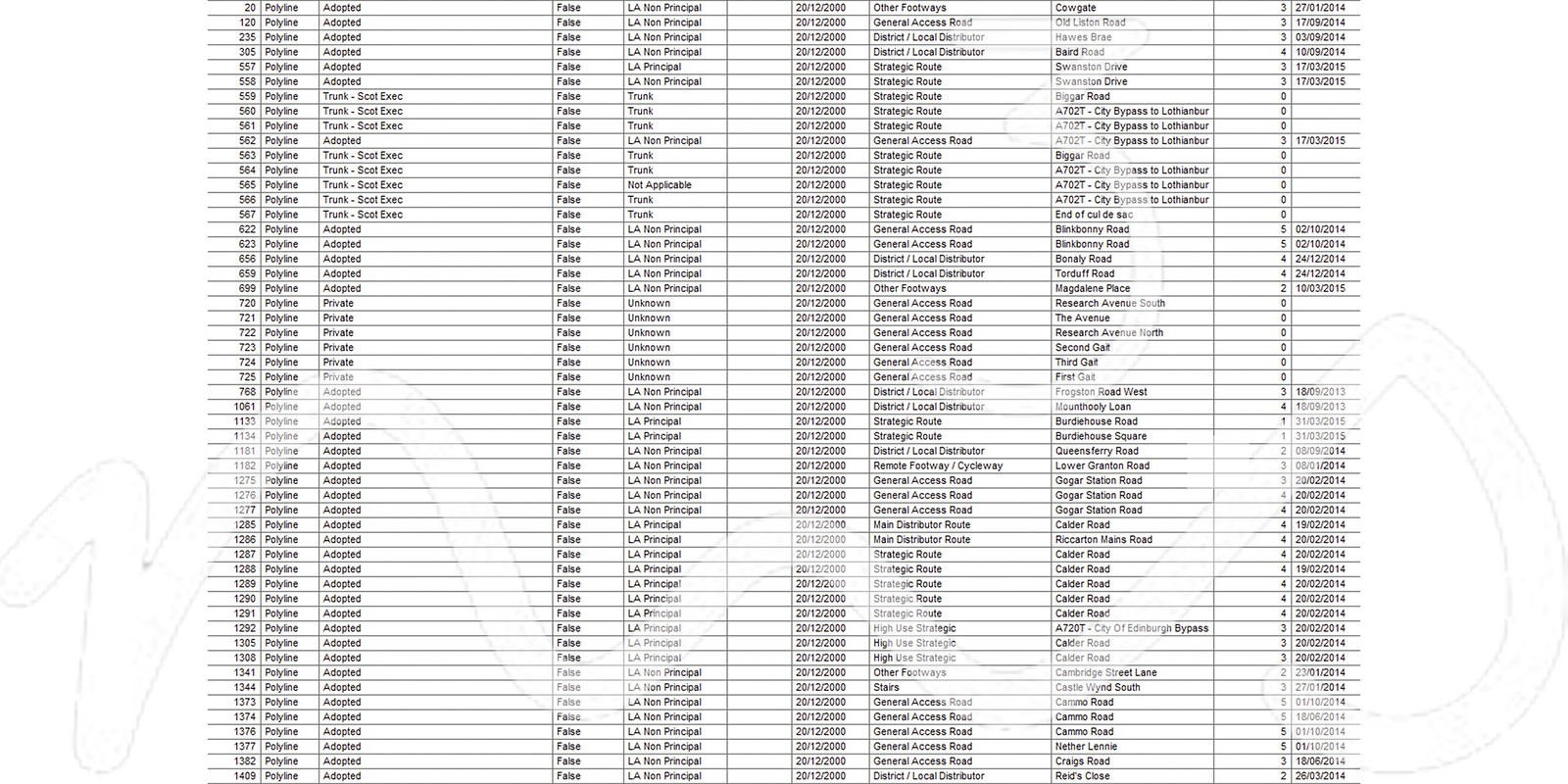
M3S undertakes analysis and processing of any dataset where a spatial element plays a significant role. We understand the importance of preserving spatial information and the need for transformation when it is required. Our experience with working in numerous coordinate systems, various datum and units as well as expertise in operating in field specific environments such as GIS or CAD can definitely add value to your datasets. We are open to all enquiries related analysis and processing spatial data.
Spatial Data Analysis & Processing
-
Data Assessment
-
Data Merging
-
Data Transformation
-
Data Extraction
-
Format Conversion
-
Asset Management Systems
-
CAD
-
GIS


[custom-facebook-feed]
[instagram-feed]
[custom-twitter-feeds]
